Picture starting your morning with a quiet walk along the Columbia and ending your day with sunset views over the water. If you’re eyeing Richland’s riverfront, you want the lifestyle and the peace of mind that comes from buying smart. In this guide, you’ll learn how the riverfront is set up, the parks and trails locals love, what types of homes sit near the water, and the key permits, risks, and logistics to check before you buy. Let’s dive in.
Riverfront lifestyle in Richland
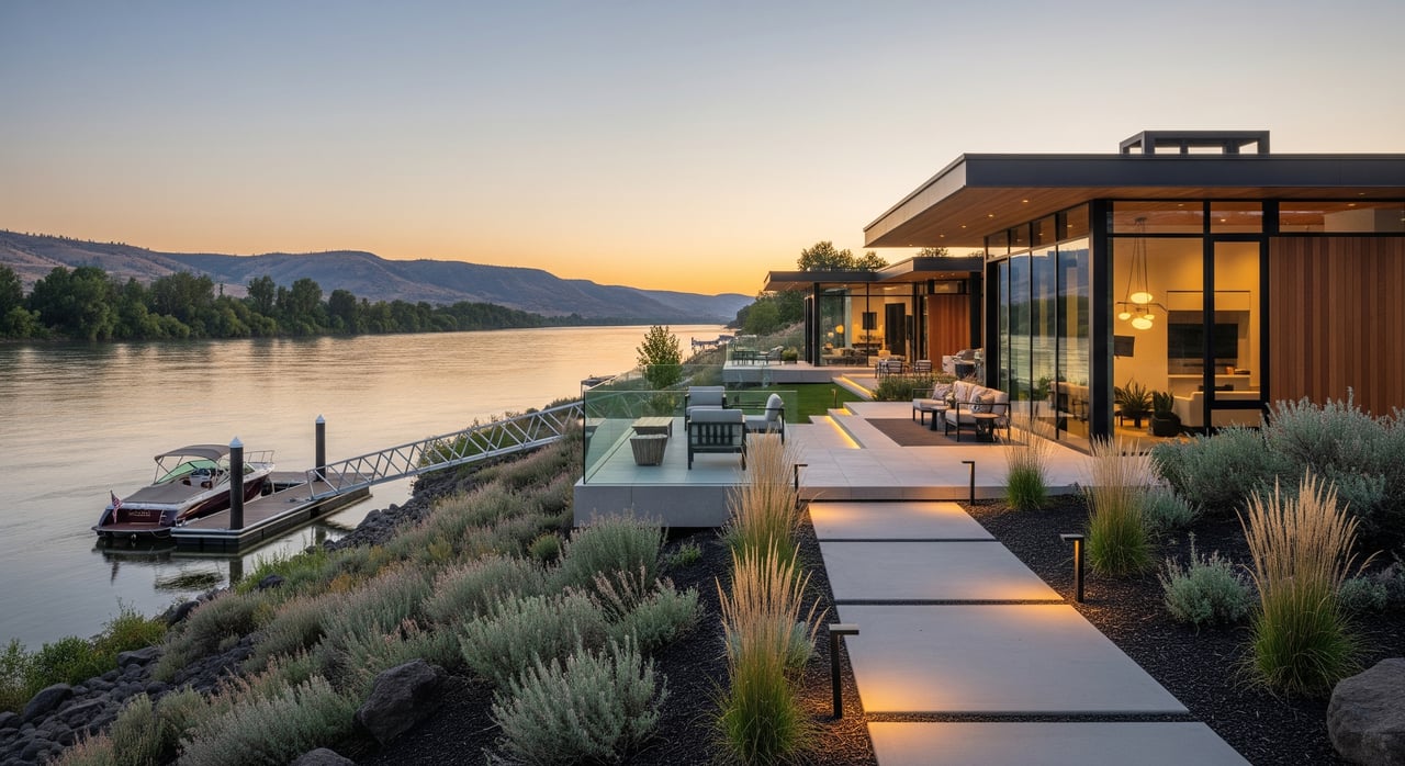
Richland sits on the eastern bank of the Columbia River and is part of the Tri-Cities with Kennewick and Pasco. The riverfront runs past downtown parkland, well-loved river-view neighborhoods, and more natural stretches near islands and habitat areas. Bateman Island and the Columbia River corridor are central features that shape access and daily life along the water.
Much of what you’ll enjoy is linked by the Sacajawea Heritage Trail, a multi-use paved loop that runs for more than 20 miles and connects riverfront parks across the Tri-Cities. Some banks are public parkland or trail easements, while other stretches are private residential shoreline. If you plan to live right on the water, confirm whether there are any recorded public access easements and where the true boundary lies between your yard and the river.
Parks, trails, and water fun
Howard Amon Park and other riverfront parks offer playgrounds, lawns, events, and easy access to the river. Bateman Island draws walkers and birders who want a more natural setting. The trail network is popular with runners, cyclists, and stroller walks, and it connects you to gathering spots and seasonal festivals.
On the water, you’ll see motor boats, pontoons, kayaks, paddleboards, and anglers on the banks. If you plan to fish, review current seasons and gear rules using the Washington Department of Fish and Wildlife’s fishing regulations so you stay within the law. Also check the Washington State Department of Health’s fish consumption advisories for the Columbia River, since guidance can vary by location and species. Seasonal water quality and harmful algal bloom updates are posted by the Washington Department of Ecology, which is helpful if your family swims or paddles near public access points.
- Review fishing seasons and rules using the state’s official regulations from the Washington Department of Fish and Wildlife.
- Check current fish consumption advisories on the Washington State Department of Health.
- Stay aware of water quality and harmful algal blooms through the Washington Department of Ecology.
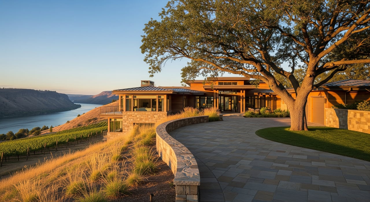
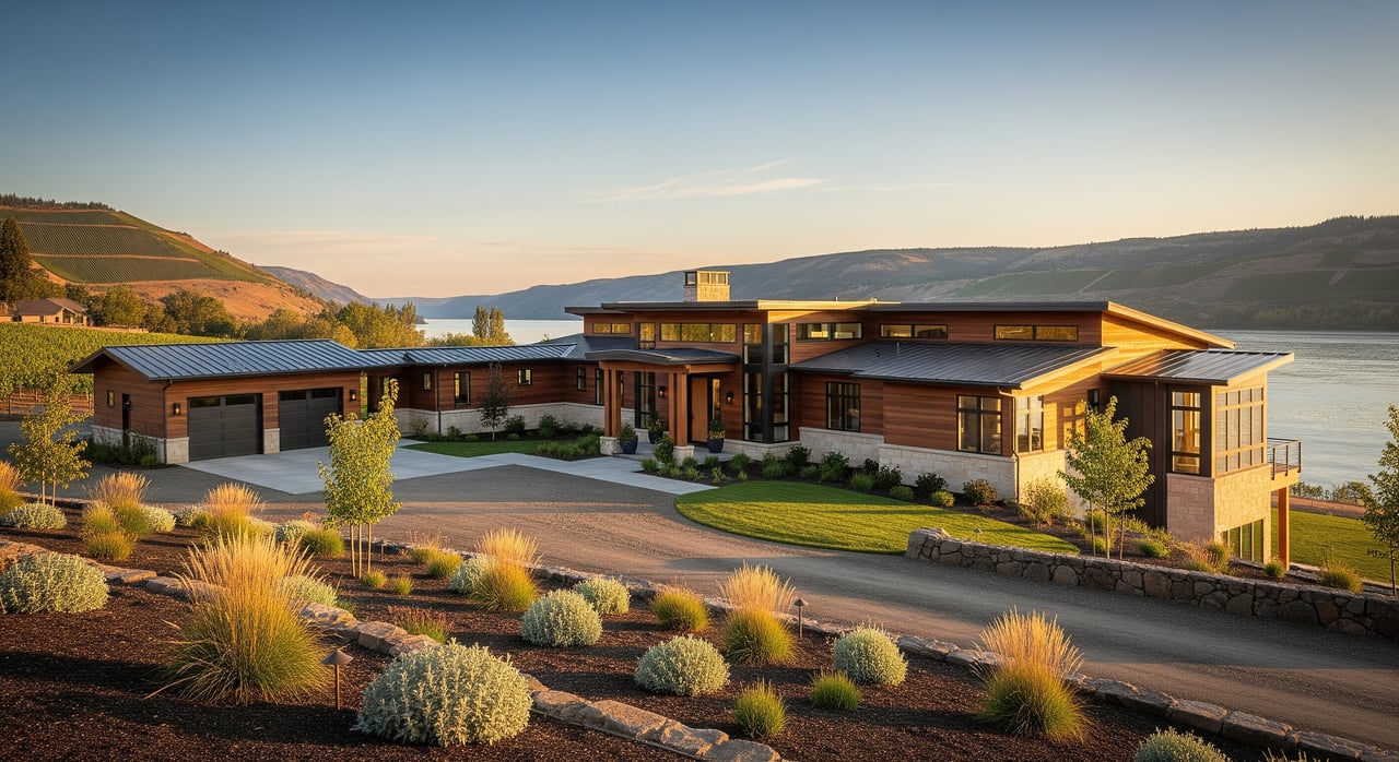
What kinds of homes are near the river
You’ll find a range of housing options near the Columbia:
- Single-family waterfront homes with private yards, riprap, and sometimes docks.
- River-view homes a bit back from the bank, often with parks or public trail easements between the home and the water.
- Townhomes, condos, or patio homes with shared open spaces and community river access.
- A mix of older mid-century and ranch-style homes alongside newer infill and custom builds in established neighborhoods.
Waterfront addresses usually carry a premium compared to similar inland homes because true shore access and views are limited. If you want the lifestyle without paying top-of-market premiums, near-river or river-view properties can offer a smart tradeoff with quick access to parks and trails.
Common tradeoffs to weigh
Waterfront living provides direct access but may come with more maintenance and permitting needs. River-view living reduces some of those burdens but likely won’t include private docks. Older riverfront homes sometimes have legacy shoreline features, like bulkheads or docks, that could need repairs or updated permits at sale. Some neighborhoods use HOAs to manage docks and shared shoreline areas, which can improve upkeep but add rules and dues.
Due diligence that protects your purchase
Buying near the water brings extra steps. A strong buyer’s plan includes these checks.
Shoreline rules and permits
Washington’s Shoreline Management Act and local Shoreline Master Programs regulate activity near the river such as vegetation removal, new structures, and bulkheads. Before you assume you can add a dock or make changes to the bank, review guidance from the Washington Department of Ecology and speak with the City of Richland planning department. In-water work like docks and pile driving often requires permits from multiple agencies, including the U.S. Army Corps of Engineers’ Regulatory Program.
- Ask for documentation that any existing dock, bulkhead, or armoring has valid permits.
- Confirm with your agent whether older structures are grandfathered and in compliance.
Flood, erosion, and insurance
Even if a parcel is not in a mapped floodplain, riverfront banks can face localized flooding or erosion. Use FEMA’s Flood Insurance Rate Maps to see how a property is designated, then discuss insurance options with a specialist. Start with the FEMA Flood Map Service Center to understand your flood zone and potential policy needs.
- Commission a shoreline or erosion inspection by a civil or geotechnical engineer for true waterfront lots.
- Confirm coverage for shoreline features and docks with your insurance provider.
Environmental considerations
Richland sits near the Hanford Reach and the Hanford Site, a historical federal nuclear site undergoing long-term cleanup. If you want more background, review the U.S. Department of Energy’s public resources for the Hanford Site. For families who plan to fish, boat, or swim, keep an eye on water quality updates from the Department of Ecology and fish advisories from the Department of Health.
Property rights and easements
Riparian rights, dock entitlements, and access can vary. Some shoreline segments include public access easements that bring more foot traffic near the water. Your title review should look for recorded easements, utility corridors, or conservation restrictions. If an HOA manages shoreline amenities, review the rules, insurance requirements, and any special assessments.
Utilities and services
Most urban riverfront parcels in Richland are on city water and sewer, but it is important to confirm service availability and any line easements. Some outlying parcels may rely on septic. Ask sellers to clarify stormwater handling and maintenance responsibilities for any private shoreline structures.
Daily living and commute practicalities
Many residents work across the Tri-Cities and enjoy short intra-metro drives depending on exact start and end points. River crossings and key employment hubs can see heavier traffic at peak hours, so map your route during the times you plan to travel. Local bus service is available through Ben Franklin Transit, which connects neighborhoods across Richland, Kennewick, and Pasco.
If you fly often, the Tri-Cities Airport in Pasco typically sits within a 15 to 25 minute drive from many Richland riverfront neighborhoods, depending on traffic and your exact location. You can review flights and services at the Tri-Cities Airport.
For daily needs, most river-adjacent neighborhoods sit near grocery stores, clinics, parks, and other community services. Still, it is smart to check drive times to your workplace, the nearest market, and your preferred recreation spots.
A simple buyer’s checklist
Use this quick list to keep your riverfront search on track.
- Property lines and access
- Verify exact boundaries and check for any public trail or access easements near the shoreline.
- Flood and hazards
- Review FEMA flood maps and talk with an insurance agent about coverage and costs.
- Permits and structures
- Confirm permits for docks, bulkheads, and any prior shoreline work. Ask whether anything is non-compliant.
- Bank condition and engineering
- Order a shoreline or erosion inspection and ask about past repairs or insurance claims.
- Environmental advisories
- Check fish consumption advisories and water quality or HAB notices before you plan to fish or swim.
- Utilities and services
- Confirm water, sewer, stormwater, and whether the parcel uses city services or septic.
- HOA and covenants
- Review dock rules, insurance requirements, and any planned assessments for shared shoreline features.
- Marketability and comparables
- Ask your agent for recent waterfront vs. river-view vs. inland sales to understand value drivers.
- Lifestyle fit
- Visit at different times and seasons to gauge boat traffic, trail use, and privacy.
How a local advisor helps
Buying by the Columbia is part lifestyle and part logistics. You want someone who understands shoreline rules, market patterns, and how to negotiate value with limited inventory. As a Tri-Cities native with a high-volume track record and Windermere resources, Gavin Vargas brings the local intel, fast response, and data-backed strategy you need to move with confidence.
Ready to explore Richland’s riverfront? Reach out to Gavin Vargas to start your search and get a tailored plan for your goals.
FAQs
What should I know about permits for a dock in Richland?
- Shoreline work often requires approvals from multiple agencies. Start with the state’s rules under the Shoreline Management Act and the U.S. Army Corps of Engineers’ Regulatory Program, then confirm local requirements with the City of Richland.
How do I check if a Richland riverfront home needs flood insurance?
- Look up the property on FEMA’s maps using the Flood Map Service Center, then talk with an insurance specialist about coverage and costs for the structure and any shoreline features.
Is the Columbia River near Richland safe for fishing and swimming?
- Many residents enjoy the river, but conditions vary. Review current fishing regulations at WDFW, fish consumption advisories at Washington DOH, and water quality or HAB updates from Ecology.
How is the commute from Richland riverfront neighborhoods?
- Many Tri-Cities commutes are short, with heavier traffic during peak hours and at river crossings. Check your route at commute times and review bus options with Ben Franklin Transit.
Are there public access trails behind river-view homes in Richland?
- Some neighborhoods back to public parks or the Sacajawea Heritage Trail. Your title review should check for recorded public access easements and your agent can confirm how that affects privacy and maintenance.
What about environmental history near the Hanford Site?
- Richland is near the Hanford Reach and the federal Hanford Site, which is under long-term cleanup. For background and updates, review the U.S. Department of Energy’s Hanford Site resources.